Bhu Naksha Rajasthan 2026: Complete Guide to Checking Land Maps and Khasra Online
How to check your plot map on bhunaksha.rajasthan.gov.in — step-by-step guide to district search, khasra number lookup, plot verification, and what each map detail tells you before a Rajasthan property purchase.
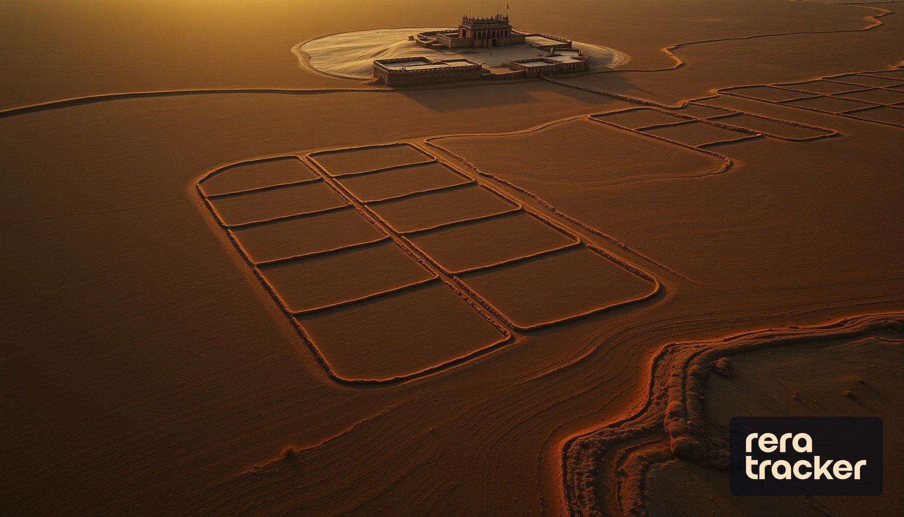
Rajasthan has one of India’s most developed online land-record systems. Bhu Naksha Rajasthan — the state government’s digital cadastral map portal — lets any buyer, owner, or investor verify plot boundaries, ownership, and neighbour details from a laptop or phone. For anyone evaluating property in the state — whether a Jaipur apartment, a Jodhpur plot, or an agricultural investment — this portal is the starting point.
This guide covers everything: the portal URL, the step-by-step lookup, what each map detail means, and how to cross-verify with the khatauni (the jamabandi record) for a complete picture.
What Is Bhu Naksha Rajasthan?
Bhu Naksha (literally “land map”) is Rajasthan’s online cadastral map system. The official portal is bhunaksha.rajasthan.gov.in, operated by the Rajasthan Revenue Department in partnership with NIC.
It is one component of Rajasthan’s broader land-records digital infrastructure:
| Portal | What it shows | URL |
|---|---|---|
| Bhu Naksha | Cadastral map with plot boundaries | bhunaksha.rajasthan.gov.in |
| Apna Khata / E-Dharti | Jamabandi (ownership ledger) | apnakhata.rajasthan.gov.in |
| DILRMP Rajasthan | Integrated land-records dashboard | National DILRMP portal |
| Epanjiyan Rajasthan | Document registration records | epanjiyan.rajasthan.gov.in |
The combination of Bhu Naksha (the map) and Apna Khata (the ledger) is the digital equivalent of the traditional Patwari’s register — but accessible, free, and available 24/7.
Step-by-Step: How to Check Bhu Naksha Online
1. Open the portal
Visit bhunaksha.rajasthan.gov.in. The interface loads in Hindi by default; switch to English at the top if needed.
2. Select District → Tehsil → RI (Revenue Inspector Circle) → Halka → Village
Rajasthan’s revenue administrative units are hierarchical:
- District (Zila): 33 districts — e.g. Jaipur, Udaipur, Jodhpur, Kota, Ajmer, Bikaner
- Tehsil: Sub-division of the district
- RI Circle: Revenue Inspector’s jurisdiction within a tehsil
- Halka: Patwari’s jurisdiction within an RI circle
- Village: The smallest revenue unit
Select each in sequence. The map of the village loads showing every plot with its khasra number.
3. Locate your plot
Two options:
- Zoom and browse: Use the map interface to zoom into the specific area
- Search by khasra number: If you already know the plot’s khasra (survey) number, type it in the search box — the map auto-zooms to that plot
4. Click on the plot
A popup or side panel appears with:
- Khasra number
- Area (in hectare / square meter / bigha)
- Landowner name (if Apna Khata is linked)
- Land classification (agricultural / residential / barren / forest / government)
5. Download the plot report
Click “Nakal” or the plot report button. A PDF with the plot’s boundaries, area, and linked khatauni entries downloads. This is the viewable copy. For a certified copy (required for loan applications or legal proceedings), request it through the Apna Khata portal or at the Tehsil office.
What the Bhu Naksha Map Actually Tells You
A single plot view shows:
| Detail | Why it matters |
|---|---|
| Boundary lines | The legal perimeter of your plot — must match on-ground physical boundaries |
| Khasra number + sub-numbers | Unique plot ID + any legally recorded subdivisions |
| Area | Recorded area in the state standard (hectare in most of Rajasthan) |
| Colour code | Land classification — green (agricultural), yellow (abadi / residential), grey (barren), red (govt land) |
| Adjacent plot numbers | Your neighbours’ khasra numbers — useful for boundary disputes |
| Roads / paths | Any public path or right-of-way through your plot |
| Water bodies / drains | Natural features that restrict construction |
| Government markings | Any portion under acquisition, pending, or reservation |
Three red flags to watch for:
- Your plot is shown split into multiple khasras but the seller claims a single unified title — ask for the mutation order and re-verify the Apna Khata
- The land classification does not match the seller’s claim — a plot marked “agricultural” cannot legally be sold as “residential” without a formal conversion (Section 90A in Rajasthan)
- Part of the plot is marked as government land or acquired — stop and investigate; partial ownership disputes are among the most common pre-purchase fraud patterns
Apna Khata / Jamabandi: The Ownership Ledger
Bhu Naksha shows the map. Apna Khata — accessed at apnakhata.rajasthan.gov.in — shows the jamabandi (ownership ledger) for each plot.
A Rajasthan jamabandi shows:
- Khata number and khatedaar (account holder) name
- Father / husband’s name (for identity confirmation)
- Area owned
- Nature of rights (Bhu Swami / Khatedar / Gair Mumkin)
- Nature of land (Irrigated / Unirrigated / Residential)
- Mutation history (every ownership change, dated)
- Encumbrances (mortgages, stays, charges)
The mutation history is the most revealing section. A well-documented chain of mutations from a recognisable seller-family tree is a green flag. Gaps, unexplained transfers, or recent consolidation into a single seller just before your purchase are warning signals.
Common Rajasthan District Lookups
Rajasthan’s land market has distinct sub-markets, each with different due-diligence considerations:
| District | What to watch for |
|---|---|
| Jaipur | JDA (Jaipur Development Authority) approvals; urban agricultural-to-residential conversions; master plan zones |
| Jodhpur | JDA Jodhpur approvals; heritage-zone restrictions; tourism-zone classifications |
| Udaipur | UIT (Urban Improvement Trust) approvals; eco-sensitive zone restrictions near lakes |
| Kota | KUIT / KDA approvals; industrial-zone conversions |
| Ajmer | Ajmer Dev Authority approvals; religious-trust lands (common litigation source) |
| Bikaner | Border-area restrictions; farm land transactions need sub-registrar attention |
| Sikar / Jhunjhunu | Rural agricultural; share-based khasra patterns common — check for joint tenancy |
| Alwar | NCR-adjacent; Alwar-area plots are priced closer to NCR but follow Rajasthan records — always Bhu Naksha verify |
| Bharatpur | Agricultural + tourism; royalty-family lands have complex succession — deeper due diligence needed |
Beyond the Map: What Else You Must Check
Bhu Naksha + Apna Khata is the foundation. A complete verification for any Rajasthan property purchase includes:
- Deed chain from the Sub-Registrar (Epanjiyan Rajasthan)
- Encumbrance certificate covering the last 13–30 years
- Section 90A / conversion certificate if the land is being sold as residential but was agricultural
- Master plan zoning from the local development authority (JDA, UIT, KDA etc.)
- Building plan sanction if the seller is claiming approved construction
- RERA registration for any project falling under the Real Estate Act (most projects > 8 units / 500 sq m)
- Physical site visit with the Bhu Naksha printout to verify on-ground matches
The cost is minimal — a few hundred rupees in fees — for a verification that could save lakhs or crores.
Converting Between Rajasthan Land Units
Rajasthan records appear in hectare on the digital portal, but rural and urban-fringe transactions often use local units. Cross-reference:
| Unit | In hectare | In square meter | In square feet |
|---|---|---|---|
| 1 Bigha (Rajasthan, Pucca) | 0.2529 | 2,529 | 27,225 |
| 1 Bigha (Rajasthan, Kachcha) | 0.1012 | 1,012 | 10,890 |
| 1 Hectare | 1 | 10,000 | 107,639 |
| 1 Acre | 0.4047 | 4,047 | 43,560 |
| 1 Biswa (1/20 Bigha Pucca) | 0.01265 | 126.45 | 1,361 |
Rajasthan uses two bigha definitions — Pucca (larger) and Kachcha (smaller). Rural western and southern Rajasthan tend to use Pucca; parts of the Shekhawati region use Kachcha. Always confirm which one your seller is quoting.
For a complete land-unit conversion guide, see our Indian Land Unit Converter Guide.
How Bhu Naksha Connects to RERA and ReraTracker
For any Rajasthan project registered under RERA, the developer is required to file the underlying khasra numbers as part of the project documentation. ReraTracker indexes Rajasthan RERA filings alongside UP, Haryana, and other state RERA data — so when a buyer is evaluating a registered project, the ReraTracker project page surfaces the khasra numbers the developer has declared.
Cross-checking those khasras on Bhu Naksha Rajasthan is the final verification step: are the declared plots actually held by the developer, are they correctly classified, and do the boundaries match what is being marketed?
For the RERA verification walkthrough, see how to check RERA registration in India.
Quick-Reference Checklist for Rajasthan Property Buyers
Before committing any amount for any Rajasthan property transaction:
- Pull Bhu Naksha for every khasra in the deal — download PDF with plot boundaries
- Pull Apna Khata jamabandi for each khasra — verify owner name + mutation chain
- Confirm classification — agricultural vs residential vs commercial; if conversion claimed, demand the Section 90A order
- Request encumbrance certificate from the Sub-Registrar for the last 13+ years
- Check master plan at the relevant authority (JDA, UIT, etc.)
- For projects: verify RERA registration at rera.rajasthan.gov.in and cross-check on ReraTracker
- Site visit with printouts — map, jamabandi, RERA filing
For land-records guidance in UP, see our Bhulekh UP 2026 Guide. For the full Indian property buyer framework, see the Flat Buying Checklist India 2026.
Intelligence beyond boundaries
12,000+ projects tracked. 5,000+ builders verified. RERA-verified data, fair market insights, and premium intelligence.
Explore ProjectsMore on Guides
Mahabhulekh Maharashtra & 7/12 Utara Complete Guide 2026: How to Check Online, Download, and Verify Before Property Purchase
Complete walkthrough of mahabhulekh.maharashtra.gov.in — how to check 7/12 utara, 8A, Fer Far, property card online. Mumbai, Pune, Nashik, Nagpur land record verification step-by-step, and how to cross-check with MahaRERA data.
MP Bhulekh (mpbhulekh.gov.in) Complete Guide 2026: How to Check Madhya Pradesh Land Records, Khasra, Khatauni Online
Step-by-step walkthrough of mpbhulekh.gov.in — MP khasra lookup, khatauni download, Bhu Abhilekh portal, district search across Indore, Bhopal, Gwalior, Jabalpur. Free Naksha download and MP RERA cross-verification.
Stamp Duty & Property Registration Charges in Gurgaon 2026: Complete Breakdown with Circle Rate, Women Rebate & Joint-Ownership
Complete 2026 guide to Gurgaon stamp duty and registration charges — standard rate, women-discount, joint ownership, commercial vs residential, circle rate vs market rate, gift deeds, and how to calculate total transaction cost before booking any property.
Stay updated on RERA
Get the latest insights on real estate regulations and compliance delivered to your inbox.
No spam. Unsubscribe anytime.